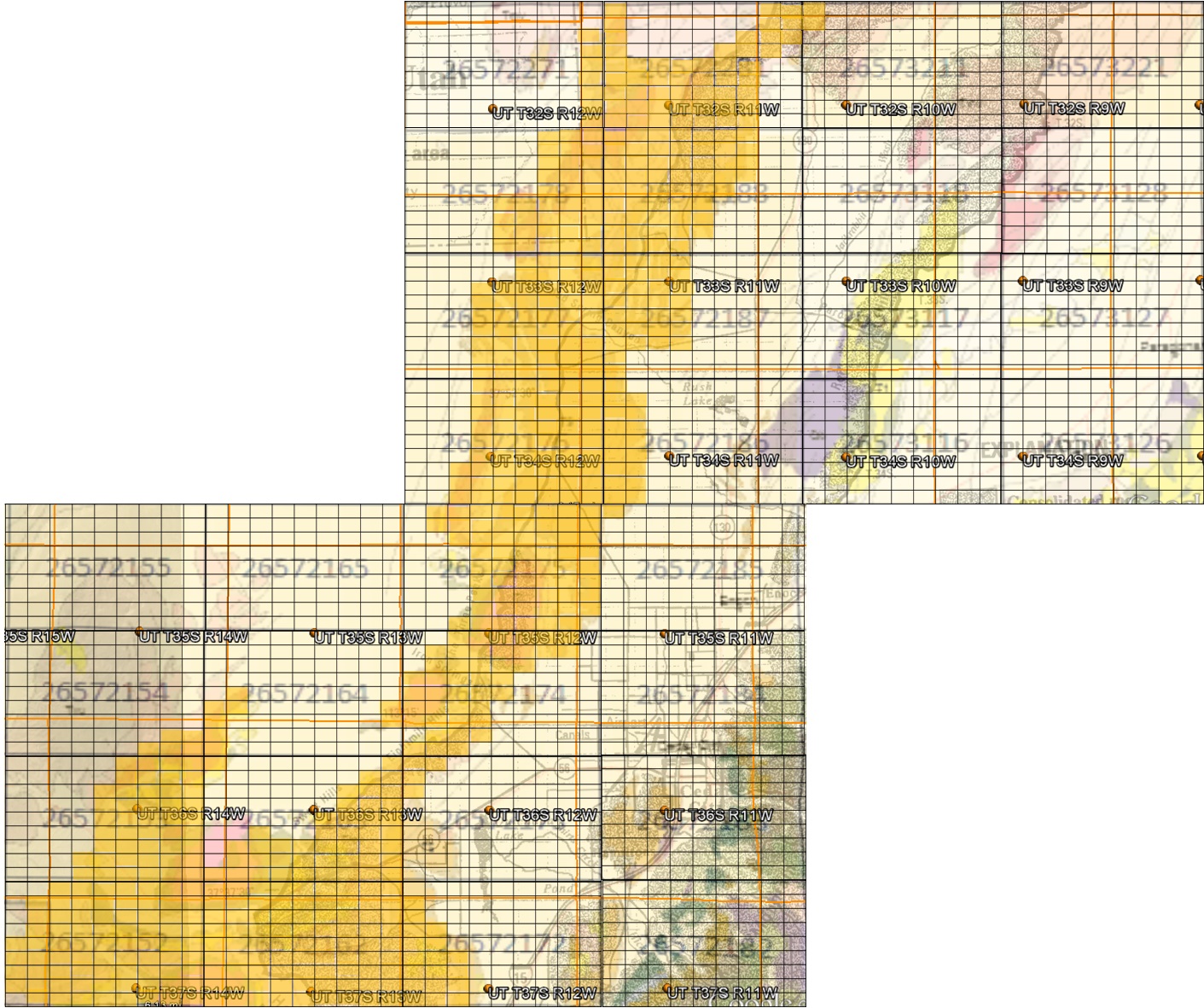
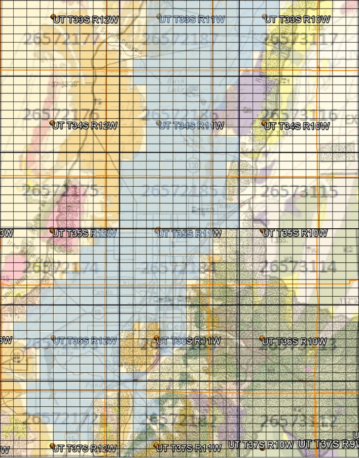
. . . Infinite GridSM Level 3 Grid Highlighting
3 Aquifers

World Topography ; United States of America ; Utah ; Iron County ;
Geologic Map ; Drainage Basins ; Under Hydrostatic Pressure ; 3 Approaches to Solving Water Issues

click on images below for expanded views

Quartz Monzonite Aquifer

Currently being produced from south of Cedar Valley,
south of New Harmony against Pine Valley Mountain.

Cedar Valley Aquifer

USGS estimates 33,500 acre-feet annual recharge, and
42,700 acre-feet annual production. The water, dating back to
Lake Bonneville and ancient glaciers, is being overproduced
by 9,000 acre feet per year and is collapsing.

Cretaceous Aquifer

Currently being produced from new well at Brian Head.
IG4 cells at 37.5o are 11,405 x 6917 meters or 7.087 x 4.298 miles or ~30.46 square miles
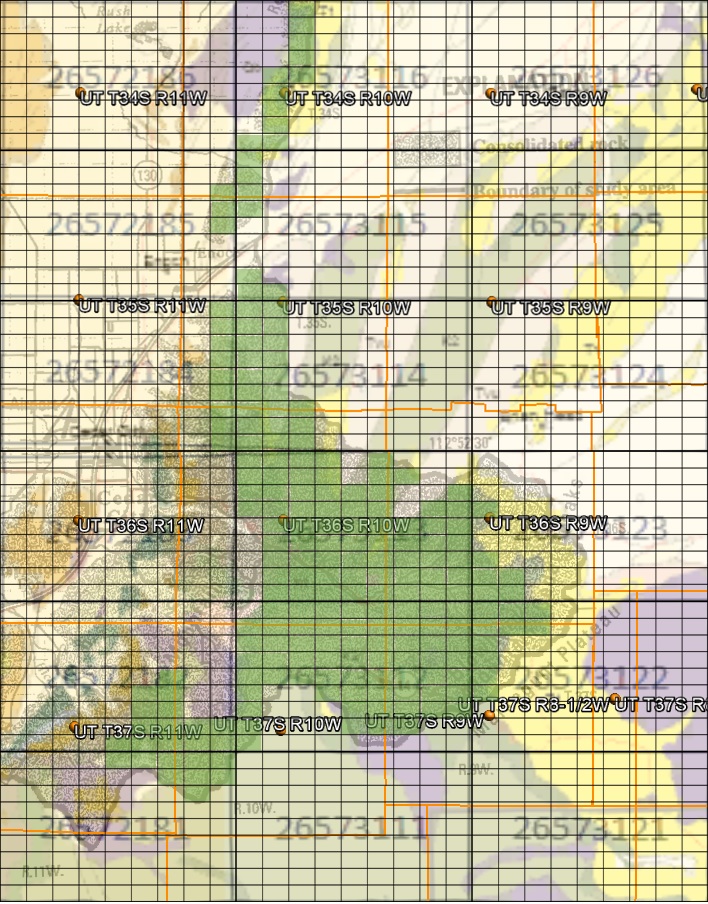
663 IG 4 cells or 20,195 square miles
449 IG4 cells or 13,677 square miles
238 IG4 cells or 8,620 square miles

This page is at: http:www.walden3d.com/IronCounty/ig/IronCounty/IC_3_Aquifers.html

Copyright © 2015 Walden 3-D, Inc.
All rights reserved. Published in The United States of America
This page, or parts thereof, may not be reproduced in any form without permission of the publisher.

For further information contact:

Walden 3-D, Inc., 2155 West 700 South, Cedar City, UT 84720
- 281.579.0172 - facsimile: 281.579.2141 - cell: 713.542.2207 -
- URL: http://www.walden3d.com * e-mail: rnelson@walden3d.com -