. . . Cedar Valley Aquifer
![]()
![]()
Cedar Valley - Area 73The Cedar Valley Aquifer has someof the oldest set of water rights in Iron County. The key issue is there are more water rights issued than are being replenished by rainfall. |
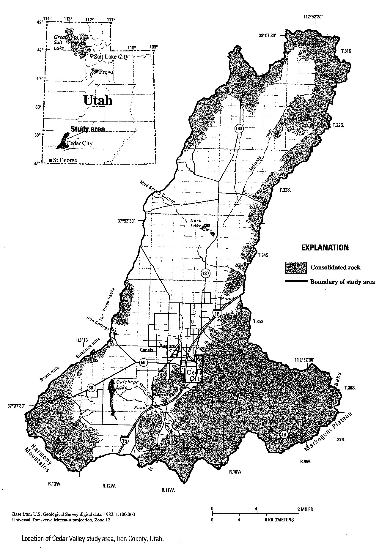
Utah Geological Survey Defninition of the Cedar Valley Drainage BasinThe Cedar Valley Drainage Basin is welldefined by the state. However, the state will not curently allow trasfer water rights from Cedar Vally up Cedar Canyon, even though they are both in the same basin. |
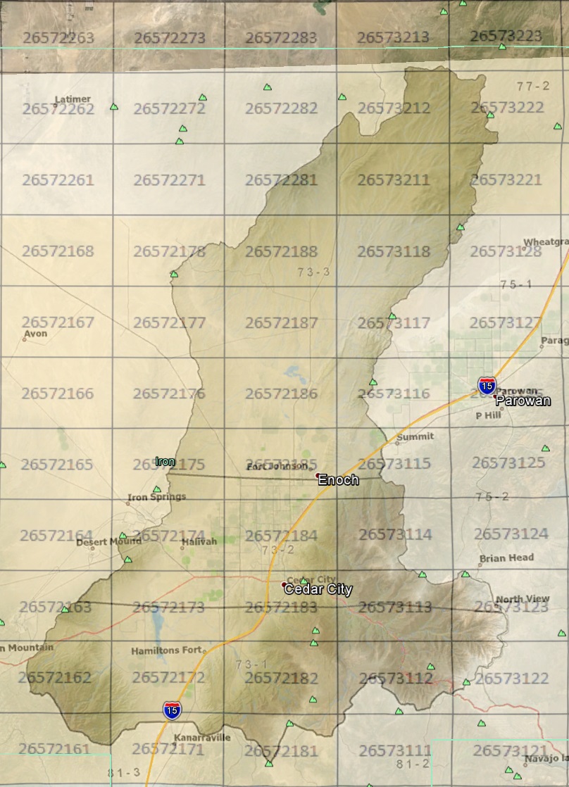
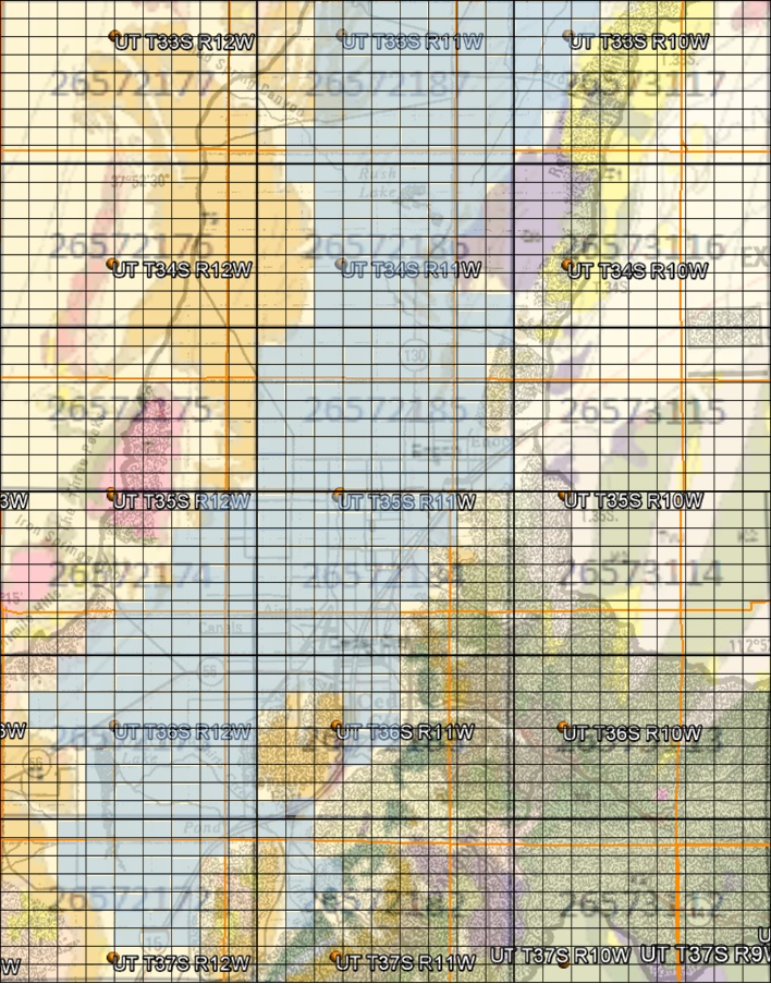
Cedar Valley Drainage Basin, also CICWCD boundary, on Iron County mapThe CICWCD is going through a major transistion. Over $1 million has been spent on legal work to obtainrights to water in Wah Wah, Pine, and Hamblin Vallies in northwest Iron County. There is a plan to build a $150 million pipeline to move this water to Cedar Valley. One of the key reasons for putting these web pages together is to encourage pursuing water from the Quartz Monzonite Aquifer and Cretaceous Aquifer. An intial review of wells in Cedar Valley are shown in map view, west-east, and south-north cross-sections. There are many additional sets of data to add to these pages, including water rights ownership, real-time monitoring and cumulative reporting of water production by individual wells in the Cedar Valley Aquifer, etc. |
 |
 |
 |
![]()
This page is at: http:www.walden3d.com/IronCounty/ig/IronCounty/IC_CVA.html