|
... II. The Framework ...
values

 paradoxes
|
These models are useful in science and business. Models improve ongoing operations.
Options can be tested with immersion in accurate virtual models of reality. Displaying the results on networked large screens
in conference rooms or to user workstations or to training theaters allows all interested parties to be involved in and to
contribute in the process of solving problems. Key is to take the various data available (see Figure 36),
and to start to build and populate these models across common spaces and locations.
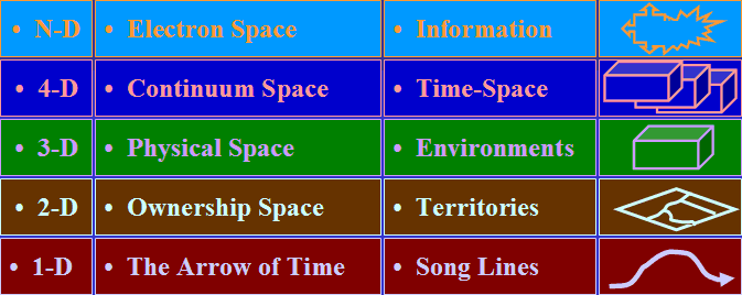
Figure 36. Model components integrated in an immersive environment.
Doing the same process with data from religious roots and themes will create similar integrated results.
And when many people become involved in collaborative study of these data in common projects, whether stored down the hall or across
the globe, there will most certainly be tremendous new insights. Local collaboration allows team immersion. Remote collaboration
maximizes distributed technical expertise using networks and intelligent models. Collaboration ties together places, experience, and projects.
Specifically, 3-D models render major improvements beyond 2-D maps of spaces and locations. Models have intelligence and users can
interact with them. Models allow users to tell their view of the story and to collaborate with others.
As Joe Kelmelis, Chief Scientist for Geographic Research for the US was quoted in National Geographic
as saying in February 1998, “For many uses it no longer suffices to make a static map.” This was expanded on in the same magazine special
article by Joel Morrison, Chief of Geography for the U.S. Bureau of Census, when he said:
“When I started in cartography, the first decision you made was the scale of the map you intended to draw. That determined the
size of the sheet, how much of the world you could get in. Now we don’t care that much about scale. Put it on the screen,
blow it up or reduce it in an instant.”
|
timedex
infinite grid
-099-
|