|
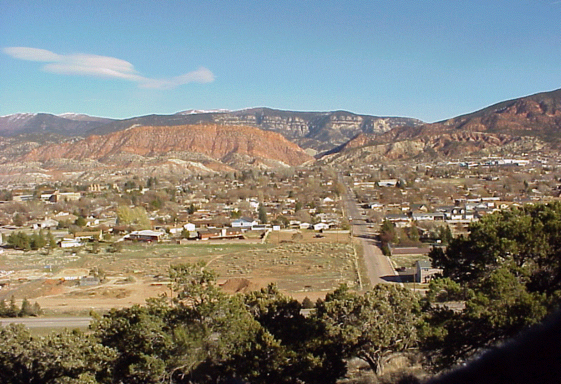
 Figure 1. Looking east at Cedar City, Utah in 1997.
(Click Here or on image, the default, for full size)
During my second summer at Amoco, in Denver
in 1973, I recognized there had to be a better way to interpret seismic data.
I started to think about ways of automating the process. The following spring,
these thoughts were greatly expanded as part of a Senior Thesis, submitted in
partial fulfillment for the requirements of the Bachelor of Science degree in
Geophysics. The project was to map the base of Quaternary sediments (the most
recent sediments) in Yellowstone Lake using a 2-D sparker seismic survey. Figure 2
shows a typical seismic section from this survey, where the vertical slice
into the subsurface runs from south-to-north, which is from Frank Island to
Stevenson Island. The interpretation for this profile is shown in Figure 3.
The resulting map, showing the depth from the lake surface to the base of the
sediments, is shown in Figure 4.
My "Big Brother" in the Phi-Sigma-Kappa Fraternity, Bob Otis,
digitized this map and converted it into a 3-D surface, and then displayed the digitized
surface using the first Evans & Sutherland Line-Drawing-System-1 (predecessor to flight
simulators used to train airplane pilots). When I saw this display (Figure 5), I immediately knew
this was closer to the way we should look at seismic interpretation results, rather than standard
seismic cross-sections and hand contoured maps which were standard in those days.
The thoughts and images planted in my mind were
written down, and described as an interactive 3-D interpretation system. This spiritual experience
was the basis for the founding of Landmark Graphics 8 years later.
|