. . . - . . .  . . .
. . .
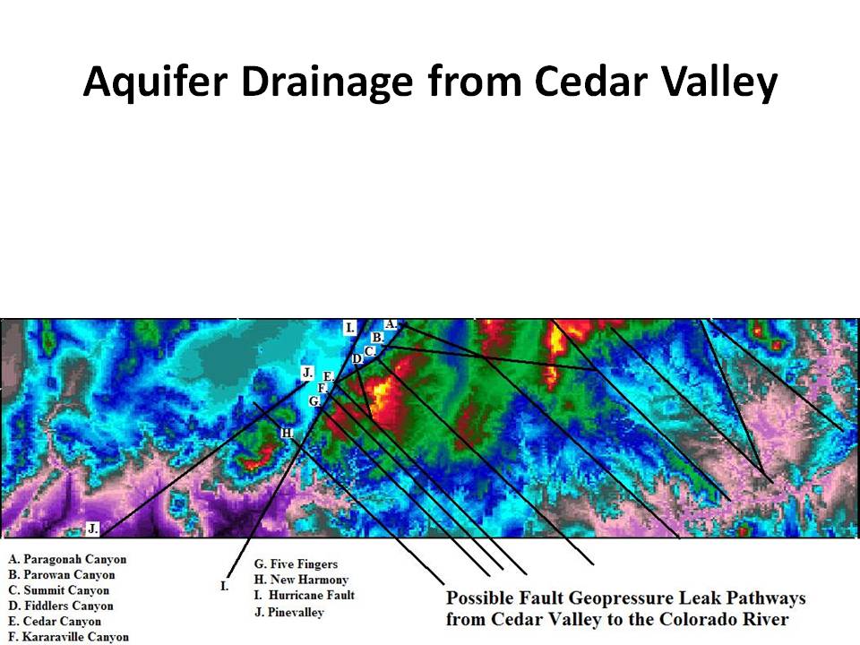
Seismic workstations can be used for more than 3-D seismic interpretation. For instance, this is a topography map displayed with one of the two lifetime seismic interpretation software licenses Landmark gave me. Notice the basement faulting interpreted from lineaments in the topgraphy. These deep transverse faults likely drain aquifers from Cedar Valley into Zion Canyon and The Grand Canyon, and are the reason there are not geopressured wells in the Cedar and Beryl valleys.
|