. . . - . . .  . . .
. . .
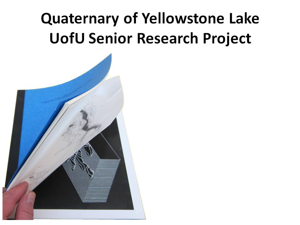
In 1974 I did a Senior Research Project at the University of Utah, similar to projects being reported on tonight. I interpreted the base of the Quaternary deposits of Yellowstone Lake, which showed the edge of the Yellowstone Caldera. My big brother in the Phi Sigma Kappa fraternity, Bob Otis, took the map I generated and created a 3-D perspective display showing the depth of the ancient lake. This was done using state-of-the-art Evans & Sutherland LDS-1 (Line Drawing System-1). This image became the basis for my plans to build a 3-D seismic interpretation workstation, which were all drawn out before I went to work for Mobil Oil in July 1974. This document was a key factor for forming Landmark Graphics Corporation in 1982.
|