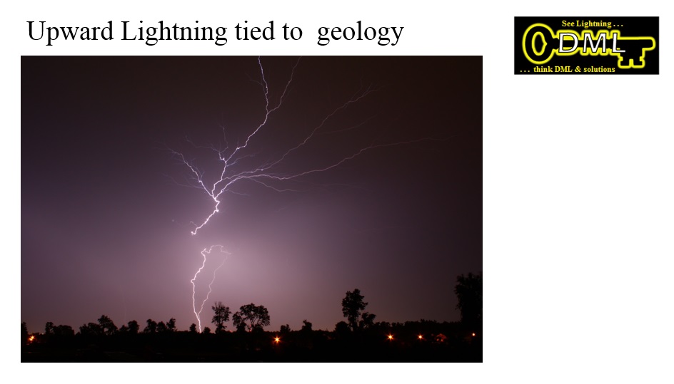
The following images introduce using lightning data
to map geology, a new tool to use for exploration
of natural resources, and an information framework
to build on for both rural and urban planning.
Click on images for expanded vuiew,
then return by going to previous page. |
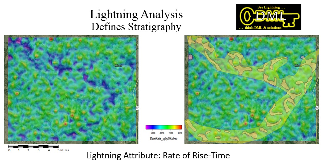
Iron County exploration uses:
- aquifers identification and mapping;
- mapping minerals extent;
- mapping possible geothermal deposits;
- mapping major faults;
- designing other geophysical surveys;
- mapping coal deposits;
- estimating possibility of coal bed methane; and
- estimating possibility of other hydrocarbons.
|
Iron County planning uses:
- rock property measurements;
- optimal monitoring strikes for
forest fires & prevention;
- earthquake prediction;
- new development planning;
- probability of strikes at
golf courses / swimming pools; and
- planning storm aviation safety.
|