. . . Infinite GridSM IG-4 Cells linked to geologic reports in Iron Counry

World Topography ; United States of America ; Utah ; Iron County ;
Iron County Outcrop Geology ; Iron-Washington Outcrop Geology - Key ;
Iron County Quaternary Faults ; Iron County Geologic Formations; & Bryce Canyon Area Geologic Cross-Section.

IG4 Iron County 26571283 26571282 26571281 26571181-88_SKX_PF_U_PP.pdf 26571181-88_SKX_PF_U_PP.pdf 26571181-88_SKX_PF_U_PP.pdf 26571181-88_SKX_PF_U_PP.pdf 26571181-88_SKX_PF_U_PP.pdf 26571181-88_SKX_PF_U_PP.pdf 26571181-88_SKX_PF_U_PP.pdf 26571181-88_SKX_PF_U_PP.pdf 26561588_Goldstrike.pdf 26572213 26572212 26572211 26572118 26572117 26572116 26572115 26572113-14_Mount_Escalante.pdf 26572113-14_Mount_Escalante.pdf 26572112 26572111 26572518 26572223 26572222 26572221 26572128 26572127 26572126 26572125 26572123-24_Pinon_Point.pdf 26572123-24_Pinon_Point.pdf 26572122 26572121 26572528 26572233 26572732 26572731 26572138 26572137 26572136 26572135 26572133-34_Beryl_Junction.pdf 26572133-34_Beryl_Junction.pdf 26572132 26572131 26572538 26572243 26572242 26572241 26572148 26572147 26572146 26572145 26572144 26572143 26572142 26572141 26572548 26572253_Blue_Mountain.pdf 26572251-52_Lund.pdf 26572251-52_Lund.pdf 26572158 26572157 26572155-56_Antelope_Peak.pdf 26572155-56_Antelope_Peak.pdf 26572153-54_Sliver_Peak.pdf 26572153-54_Sliver_Peak.pdf 26572152 26572151 26572558 26572263_Burns_Knoll_Peak.pdf 26572261-62_Latimer.pdf 26572261-62_Latimer.pdf 26572168 26572167 26572166 26572165 26572164 26572163 26572162 26572161 26562568_New_Harmony.pdf 26572273 26572272 26572271 26572178 26572177 26572176 26572175 26572173-74_Cedar_City_NW.pdf 26572173-74_Cedar_City_NW.pdf 26572171-72_Kanaraville.pdf 26572171-72_Kanaraville.pdf 26562578_Kolob_Arch.pdf 26572283 26572282 26572281 26572187-88_Enoch.pdf 26572187-88_Enoch.pdf 26572186 26572185 26572183-84_Cedar_City.pdf 26572183-84_Cedar_City.pdf 26572182 26572181 26562588_Kolob.pdf 26573213 26573212 26573211 26573118 26573117 26573116 26573115 26573114 26573113 26573112 26573111 26563518_Cogswell_Point.pdf 26573223 26573222 26573221 26573128 26573127 26573125-26_Panguitch_NW.pdf 26573125-26_Panguitch_NW.pdf 26573123-24_Brian_Head.pdf 26573123-24_Brian_Head.pdf 26573121-22_Navajo_Lake.pdf 26573121-22_Navajo_Lake.pdf 26573528 26573233 26573232 26573231 26573138 26573137 26573136 26573135 26573133-34_Panguich_Lake.pdf 26573133-34_Panguich_Lake.pdf 26573131-32_Henrie_Knolls.pdf 26573131-32_Henrie_Knolls.pdf 26573538 26573243 26573242 26573241 26573147-48_Little_Creek_Peak.pdf 26573147-48_Little_Creek_Peak.pdf 26573146 26573145 26573143-44_Haycock_Mountain.pdf 26573143-44_Haycock_Mountain.pdf 26573142 26573141 26573548 26573253_Circleville_Mountain.pdf 26573251-52_Freemont_Pass.pdf 26573251-52_Freemont_Pass.pdf 26573158 26573157 26573156 26573155 26573153-54_Hatch.pdf 26573153-54_Hatch.pdf 26573151-52_George_Mountain.pdf 26573151-52_George_Mountain.pdf 26563558_Alton.pdf 
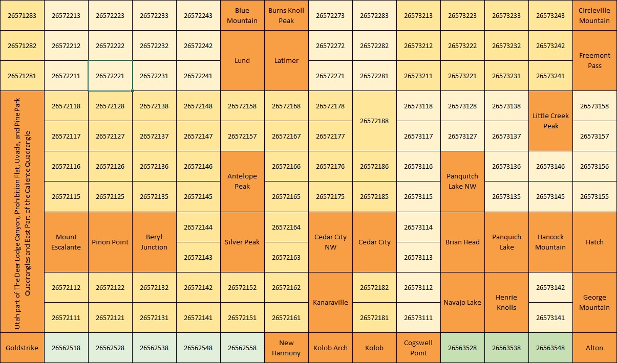
Infinite GridSM Level 4, or IG-4, based on 8x8 7'30" x 3'45" grid cells.

Clicking on one of these grid cells links to a more detailed map of that specific area. From here one can link to a set of nine grid cells, which can be used to navigate across the globe, or to a list of all references in this book for this specicific area.


This page is at: http:www.walden3d.com/IronCounty/ig/IronCounty/index.html

Copyright © 2015 Walden 3-D, Inc.
All rights reserved. Published in The United States of America
This page, or parts thereof, may not be reproduced in any form without permission of the publisher.

For further information contact:

Walden 3-D, Inc., 2155 West 700 South, Cedar City, UT 84720
- 281.579.0172 - facsimile: 281.579.2141 - cell: 713.542.2207 -
- URL: http://www.walden3d.com * e-mail: rnelson@walden3d.com -